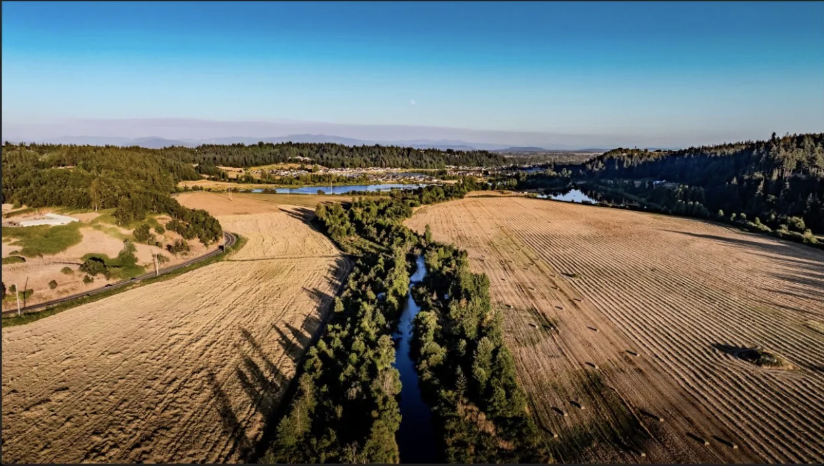
Three verified interconnection paths through two utilities. A FEMA Zone AE floodplain with a 2D HEC-RAS model already built. A fully approved zone change. A 600-acre industrial neighbor with Amazon and FedEx already there. A regional EDC bringing data center prospects. The pieces are real and the engineering is done.
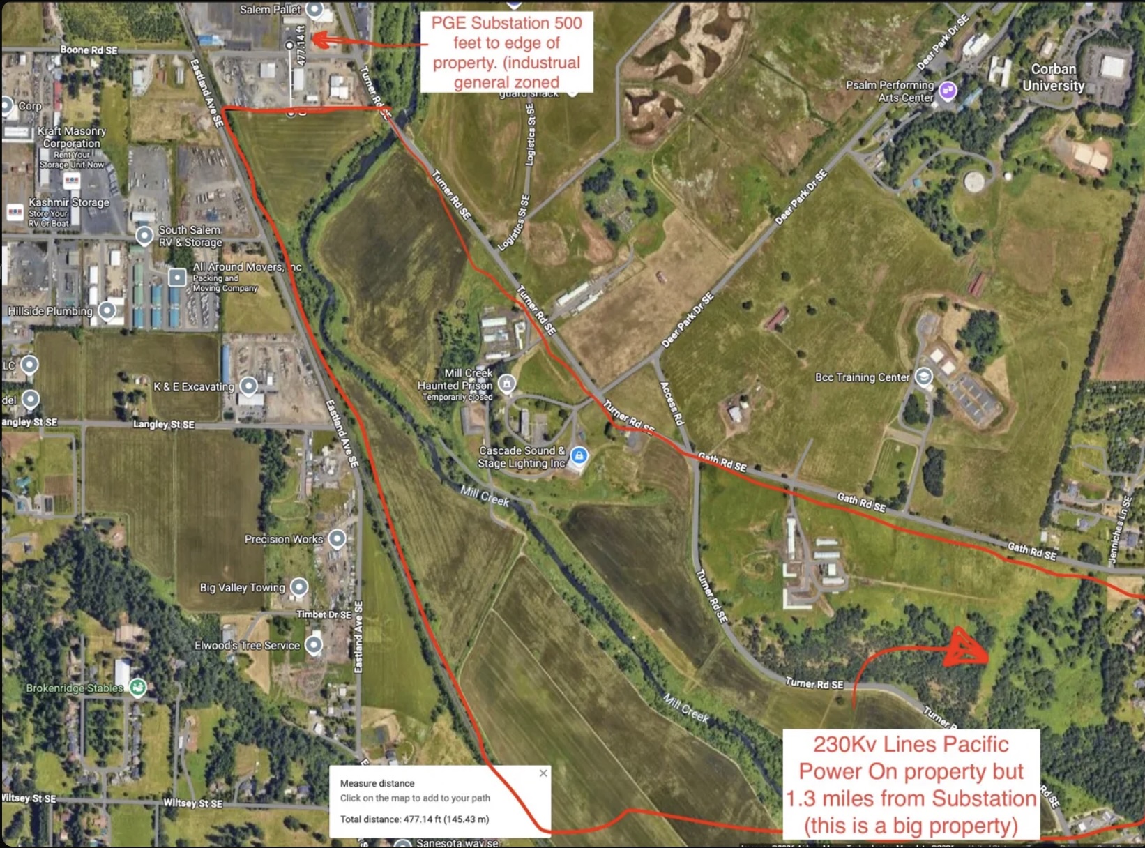
The single most common reason Oregon solar projects fail is the gen-tie — the cost and time of getting power from generation to transmission. This site eliminates that entirely. PGE Barnes substation sits 477 feet from the northern property edge. PacifiCorp's 230 kV transmission crosses the southern boundary on-property.
Verified facts from the deal room. Each entry sourced to a specific document, public record, or direct measurement. Items still under verification are flagged honestly.
Direct answers, sourced to the underlying record. If the answer is incomplete, that's flagged here rather than buried.
~117 acres of Mill Creek floodplain that would block traditional industrial building turn into a high-value solar opportunity through elevated agrivoltaic racking — satisfying NFIP "no net loss" rules without fill, while preserving vegetated and riparian habitat.
The site qualifies for an unusual stack of state, federal, and local programs. Each one is real; the combined effect on developer NPV is significant.
The pieces are real and the engineering is largely done. We're looking for a developer, IPP, or strategic buyer who can answer the questions below — and then execute.
Engineering, hydraulic modeling, land use, water rights, survey, counsel, and brokerage representation — all engaged on the property and available to qualified counterparties.
Owner-direct or through brokerage representation — your choice. Either path opens the full data room under MNDA: title, surveys, the WEST Consultants HEC-RAS model, zoning approval, transmission documentation, and SEDCOR correspondence.